
Welcome back to the Lookout! Yesterday’s lightning bust produced a number of fires throughout Northern California and the show’s not over yet. We’re expecting to see more thunderstorms rolling in today and throughout the week, mostly in the Sierra, Cascade, and Coast Ranges.
There are a number of fires that have taken hold and have potential to get well established, but until something gains more traction, intel on these new starts is limited.
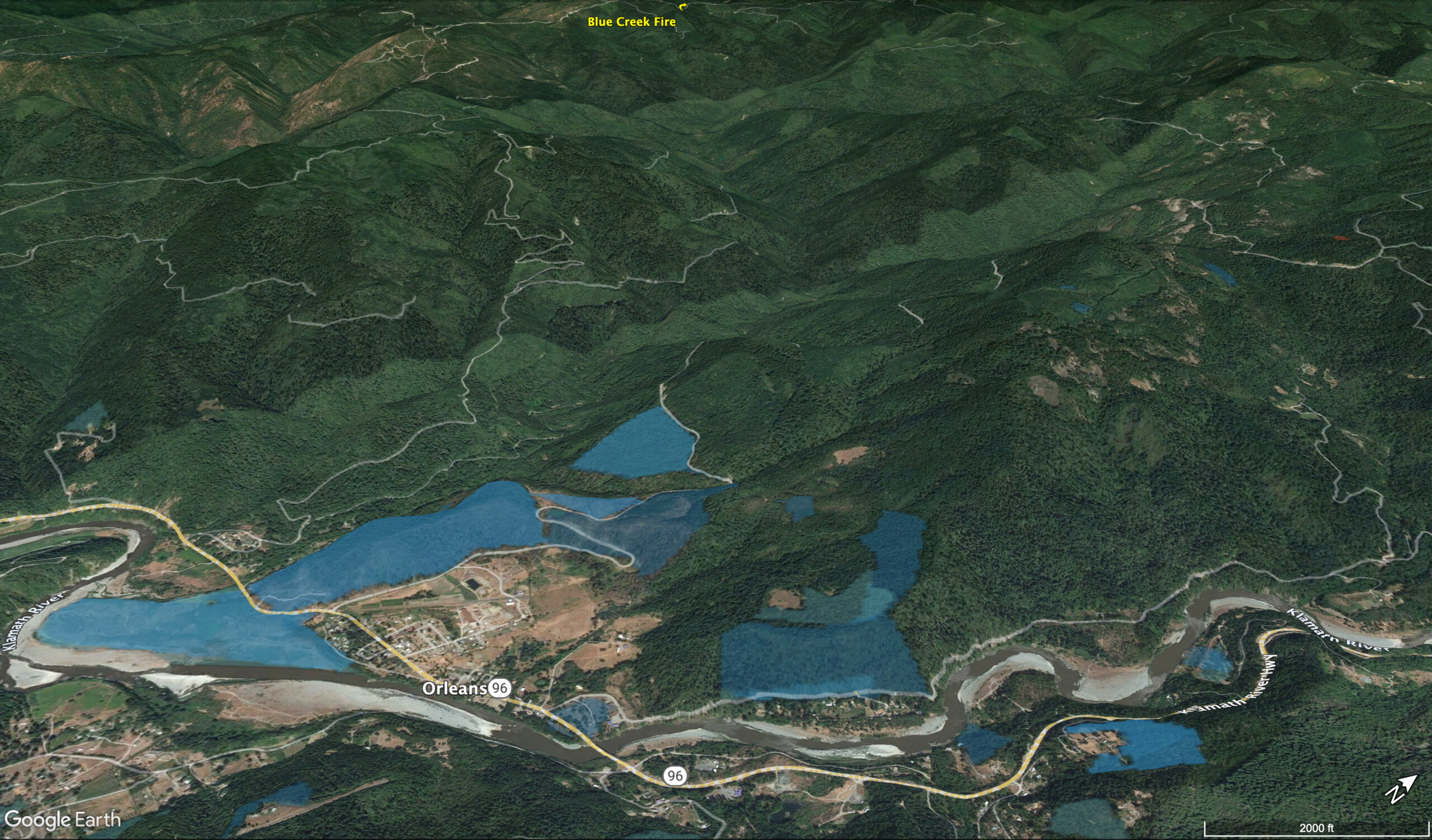
Today I’d like to zoom in on the Blue Creek Fire, mapped at 16 acres as of 10:30 this morning and burning West of Orleans, deep in the Six Rivers National Forest. This fire has potential. Why? Because it’s located in a very remote, steep and inaccessible location AND the immediate area surrounding the fire has had almost no wildfire history in the past 100 years. Those two factors alone in the middle of August put this fire on our radar. Another big factor is that there are multiple fires that started in the Northern Coast Range overnight … which means local air attack resources are going to be prioritizing fires that are more likely to cause damage A)people B)homes/infrastructure C) resources such as timber. Given the location of this fire, I believe most of the priority will be down working the Lone Pine Fire between Hoopa and Willow Creek.
We’ll keep an eye on the incoming lightning and on all of the new fires burning up here in Northern California. Check back soon, we’ll post more maps and information if any of these fires continue to grow. Until then, take some deep breaths and enjoy the clean air! – Ryan Cowper Stephens
Blue Creek Fire Maps:
OVERVIEW

FIRIS BLUE CREEK PERIMETER – Fire mapped at 16 acres. August 15 @10:35am

WILDFIRE HISTORY
Shaded areas in this map show wildfire perimeters dating back to the early 1900’s. As you can see, there’s been very few acres burned in this region over the past 100+ years.
LIGHT GREEN shaded areas, West of the Klamath River and Orleans burned in 1998
Everything in RED and MAGENTA burned over 100 years ago

PRESCRIBED FIRE (RX) HISTORY
The areas shaded BLUE show Klamath River Prescribed Fire Training Exchange (TREX) perimeters. Unfortunately, this map only shows perimeters up to 2020. Rest assured, Klamath River TREX has treated plenty more acres since 2020 to protect the town of Orleans.

DISTANCE TO ORLEANS

DISTANCE TO SOMES BAR
